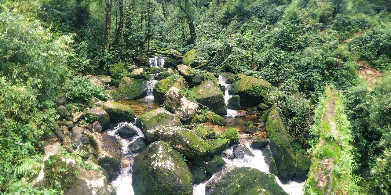
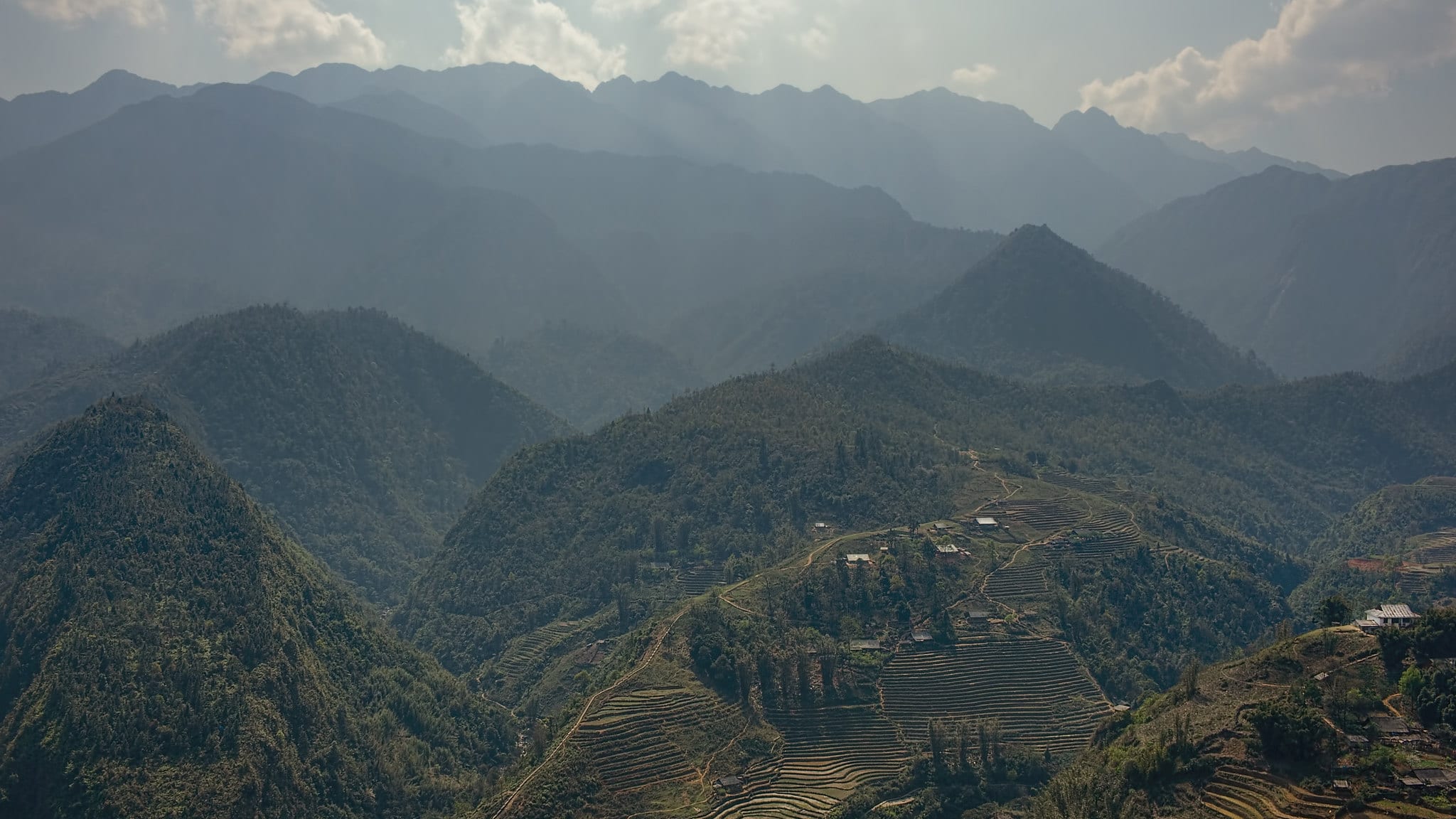
Nicknamed “Green Paradise” by hikers, Pu Ta Leng is located in the Lao Cai Province, similar to Fansipan and Phu Si Lung, and is the third tallest peak in Vietnam.
Although easier to climb than Pu Ta Leng, this 3,049 meter (10,003 foot) mountain requires a local guide to reach its peak. The mountain’s lush landscape is dotted with streams, which makes it an eye-catching hike for adventure travelers.
History
Part of the Hoang Lien Son Mountain Range, Pu Ta Leng, also referred to as Phu Ta Leng, emerged from the Earth 250-260 million years ago during the Permian and Triassic periods. Pu Ta Leng is just another peak in northwest Vietnam and is considered to be an extension of the Himalayas.
Shrouded in mystery, there is not much information available about the mountain’s history. The remoteness of Pu Ta Leng means that few outsiders have reached the summit, though, hikers can be sure that any guide will provide them with stories of the mountain as they journey along its slopes.
The only piece of history that is recorded is the first part of the name — “Pu”, which in the native Hmong tribe‘s language means mountains. “Ta Leng” does not have a direct translation in English, which may be because the mountain’s original name and its spelling could have been lost to time.

Nevertheless, Pu Ta Leng’s beauty is enough to entice travelers to journey to its base. Hikers can make their own history on the mountain, as not many foreigners have successfully made it to the summit.
Location
Pu Ta Leng is also located in the Lao Cai Province within the Hoang Lien Son Mountain Range, similar to Fansipan and Phu Si Lung. Further away from Sapa, most hikers will travel to the northwestern Vietnamese village of Ta Leng to start their journey.
However, Ta Leng Villages is not too far from Sapa and travelers can use either community as a base camp.

Local guides can also be hired in either Ta Leng Village or the hotels in Sapa. In Sapa, guests have more options for overnight accommodations and dining. There is also a museum in Sapa for travelers to learn more about the local history and the province’s peaks.
Summiting Pu Ta Leng
While Pu Ta Leng may not be as tall as Phu Si Lung or Fansipan, the mountain’s shorter stature does not make the hike any easier, requiring a multi-day trip. Even seasoned hikers typically prepare for at least 3 days of travel to summit Pu Ta Leng.
Many are deceived by the mountain’s “Fair Route”, which weaves at a gentle slope amongst the rocks.

The first part of the journey is easy, but the trail only gets steeper as you head up, which is why a local guide is a must. Unlike Phu Si Lung, a permit is not required to climb Pu Ta Leng, however, the dense vegetation and wandering path can be difficult to follow.
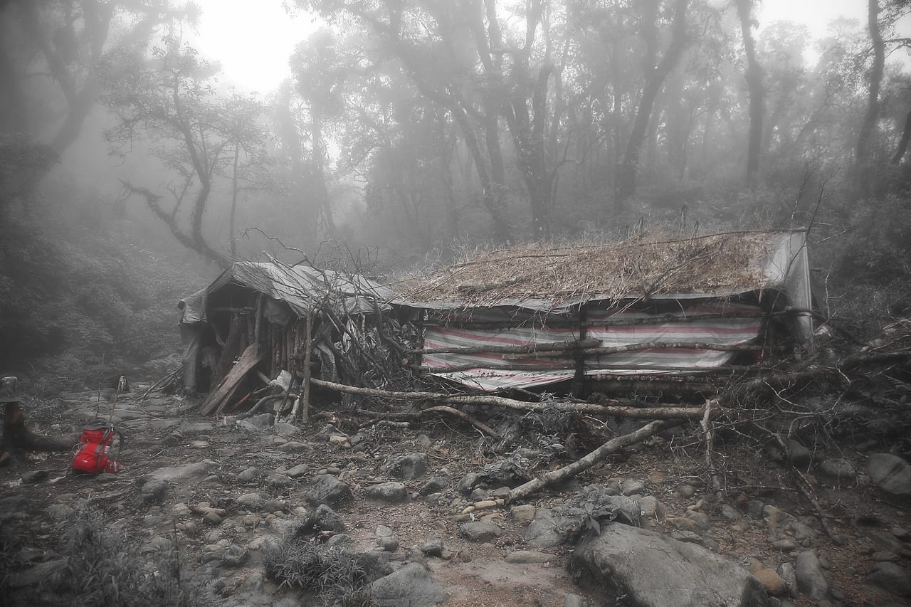
Local guides can lead hikers along the correct path, as well as assist with gear and making camp.
Weather
Pu Ta Leng is lush and green for a reason; there is significantly more water in this area of the province. From mountain streams to rain, hikers are sure to encounter a fair amount of water along the way, making rain gear essential.
Even in the dry season when the rain subsides, hikers can still encounter random showers. Late January to June are the best months to attempt the climb, giving hikers the best chance to avoid getting caught in a severe storm.
See the Peak
Not as famous as Vietnam’s other peaks, Pu Ta Leng’s amazing scenery has boosted the mountain’s popularity. Ideal for experienced hikers or fit nature lovers, Pu Ta Leng is Lao Cai Province’s luscious gem. If you’re interested in hiking other peaks during your trip, here are the tallest mountains in Vietnam.
Details
Location: near Sapa, Lao Cai Province, Vietnam
Elevation: 3,049 meters (10,003 feet)


 Fansipan (Phan Xi Pang) Mountain – near Sapa