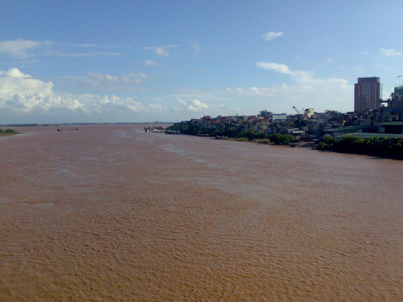
The striking red waters of Song Hong constitute Northern Vietnam’s longest river. Originating in China’s Yunnan Province, Song Hong, also known as the Red River, majestically flows through North Vietnam before discharging in the Gulf of Tonkin.
History of the Red (Song) River
Spanning over 120km, the Red River played an important role in the era of French rule as it was considered a valuable trade route with nearby China. In the pre-railway era, Song Hong was busy with merchant ships and cargo boats crossing its burgundy waters. It wasn’t until 1910 and the advent of the Kunming-Haiphong Railway that the Red River’s status began to decline.
Today, the Red River flows through lands plentiful in rice production and, after the Mekong River Delta, is the second-most important area in Vietnam for rice cultivation and production. The river’s distinctive color is caused by the huge quantities of silt it carries with it during its flow downstream.

A system of intricate dams, dikes, and levees helps protect the precious farmland against the Red River’s infamously bad floods. Pollution and human developments have further compounded the problem, making the river a formidable force during the wet season.
A vital part of life in Northern Vietnam, the Red River runs through several of the country’s most important locations including Hanoi, Lao Cai City, and Thai Binh City. Millions of people live in close proximity to the river and this can be seen in the abundance of agricultural developments on its banks.
If you’re eager to explore the Red River, consider taking a river cruise from nearby Xuan Thuy National Park. From there, you can head upstream to the Red River and witness its natural beauty up close.
Details
Address: North Vietnam
Season: Year-round
Hours: 24 hours
Bridges: Long Bien Bridge


 Perfume River – Hue