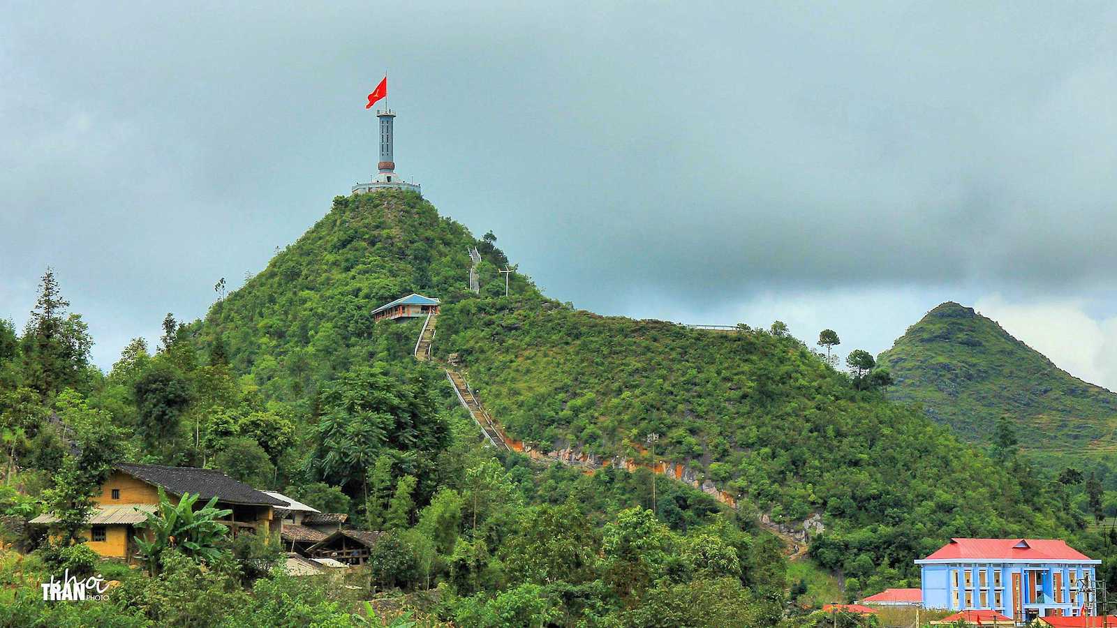
The Lung Cu Flag Tower signifies the northernmost spot of Vietnam, although the border it shares with China is roughly 3 km further north. The tower sits at an elevation of 1,400 meters/4,600 feet and is over 33m tall. It flies a Vietnamese flag with an area of 54m2 while overlooking Ha Giang and the Dong Van district on one side, and offering visibility into China on the other.
The ride up to the tower’s base is a scenic one recommended by most tourists, and for a fee, visitors can climb the 140 spiral stairs to the top of the flag. At the foot of the tower is a building that houses cultural artifacts from the ethnic groups in the Ha Giang province.
History

According to historical documentation, there has been a tower in this location since the 10th century, but it was rebuilt in the late 1800s to be what it is today. Its name, “Lung Cu,” translates to “King’s Drum” in English, which explains its octagonal-shaped to reflect an actual drum.
Nearby the flag tower is the ethnic town Lo Lo Chai Village alongside its two small lakes, which are said to be the eyes of a legendary dragon watching over the country.
Getting to Lung Cu Flag Tower

The closest town to the Lung Cu Flag Tower is Dong Van, roughly 25km/15.5 miles away and a scenic drive by motorbike, car, or bus. Most visitors get to Dong Van by bus from Ha Giang, which is 160km/99 miles apart. To give a more broad perspective, Hanoi is a total of about 460km/285 miles from the tower, so it’s a little further away than most would do for a day trip.
Details
Address: Đường lên Cột Cờ, Lũng Cú, Đồng Văn, Hà Giang Province, Vietnam
Season: Year-round


 Sa Dec, Vietnam